Professional Mapping/Drafting
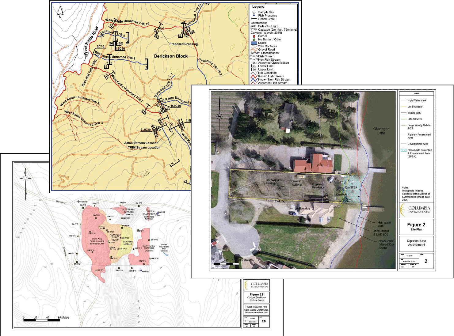
Many assessments use maps as a means of conveying geographical information. Mapping and/or modelling of findings can visually display results and aid in information sharing and understanding. Mapping products are often used to display locations of interest (sample sites/species/etc.), for modelling of environmental conditions (contaminant plumes, important wildlife habitat), and to aid in the creation of spatial data sets to document and display important environmental features (i.e. fisheries data warehouse).
Our associates are able to provide clients with technical services for GIS and AutoCAD mapping needs including:
- Data Aquisition
- Differentially corrected (DGPS) detailed site surveys
- Digitization and data entry
- Integrate GIS/GPS data surveys
- Database design
- GIS Mapping
- Custom mapping & modelling
- Base data compilations
- Query & analysis using spatial databases
- CAD Drafting
- Custom mapping & modelling
- GPS and survey integration
- Quality maps to technical report standards
Each map is custom built to suit the needs of the project, and can be combined with client data to produce a specialized product each and every time.


